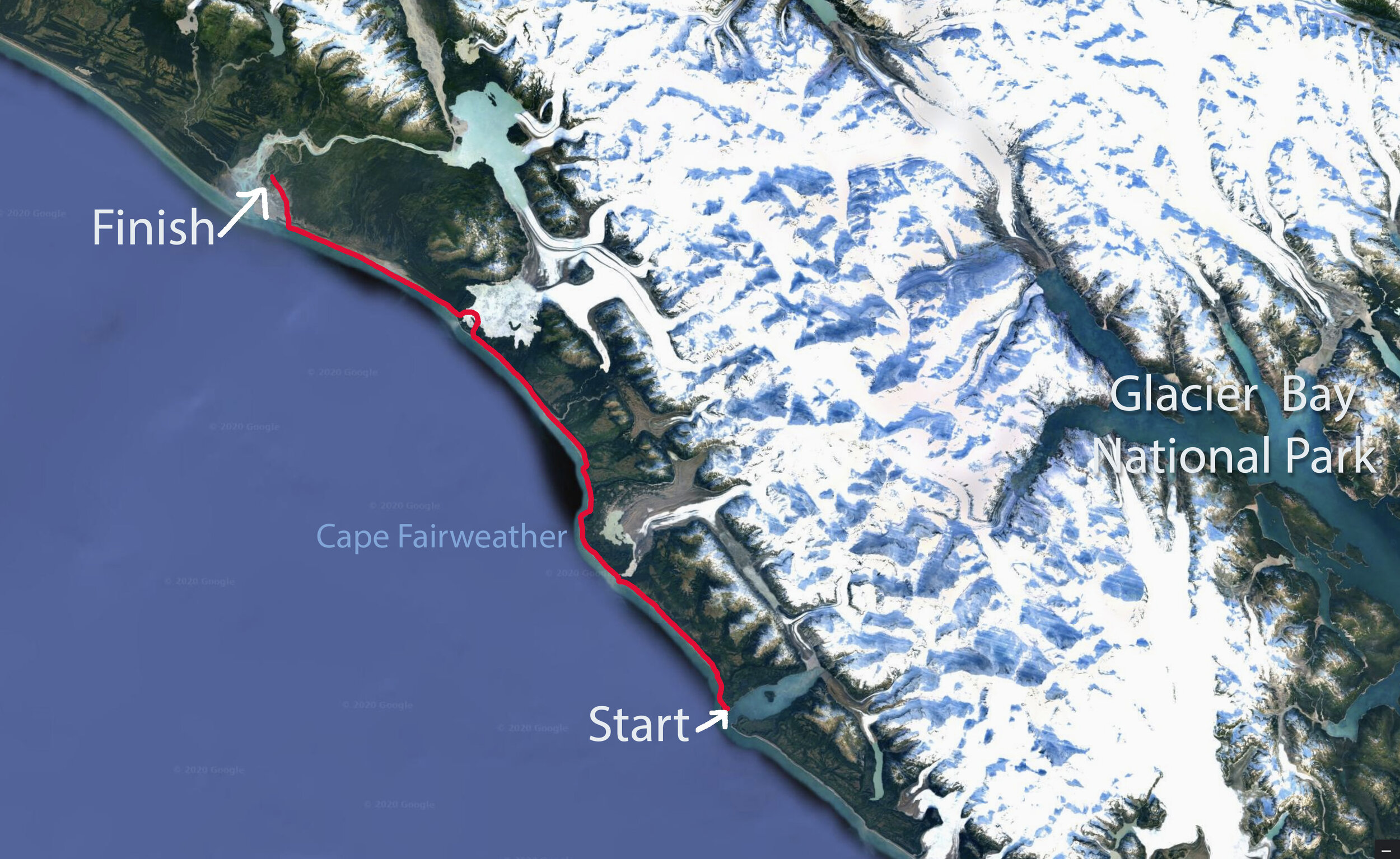
Cape Fairweather Traverse Alaska

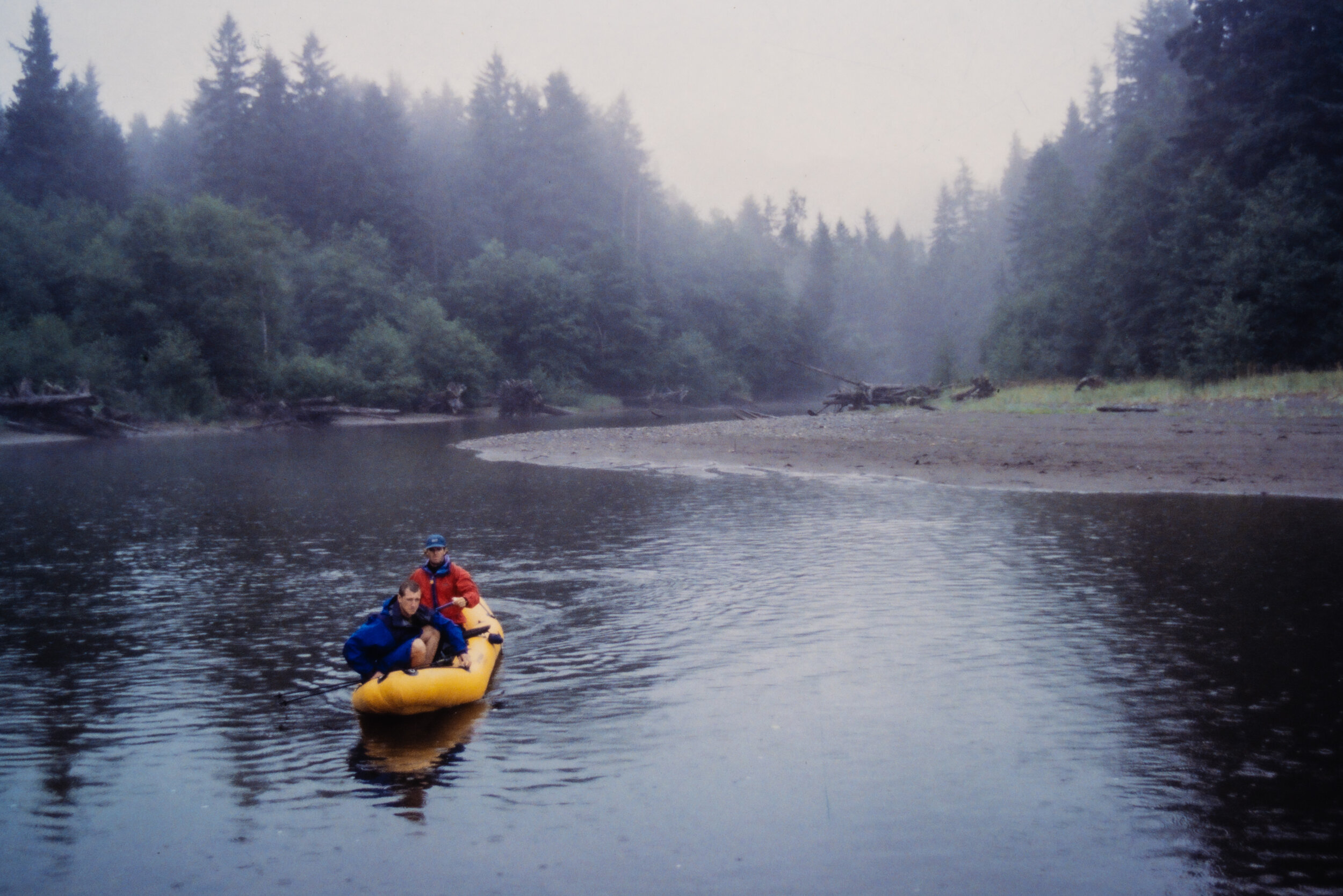
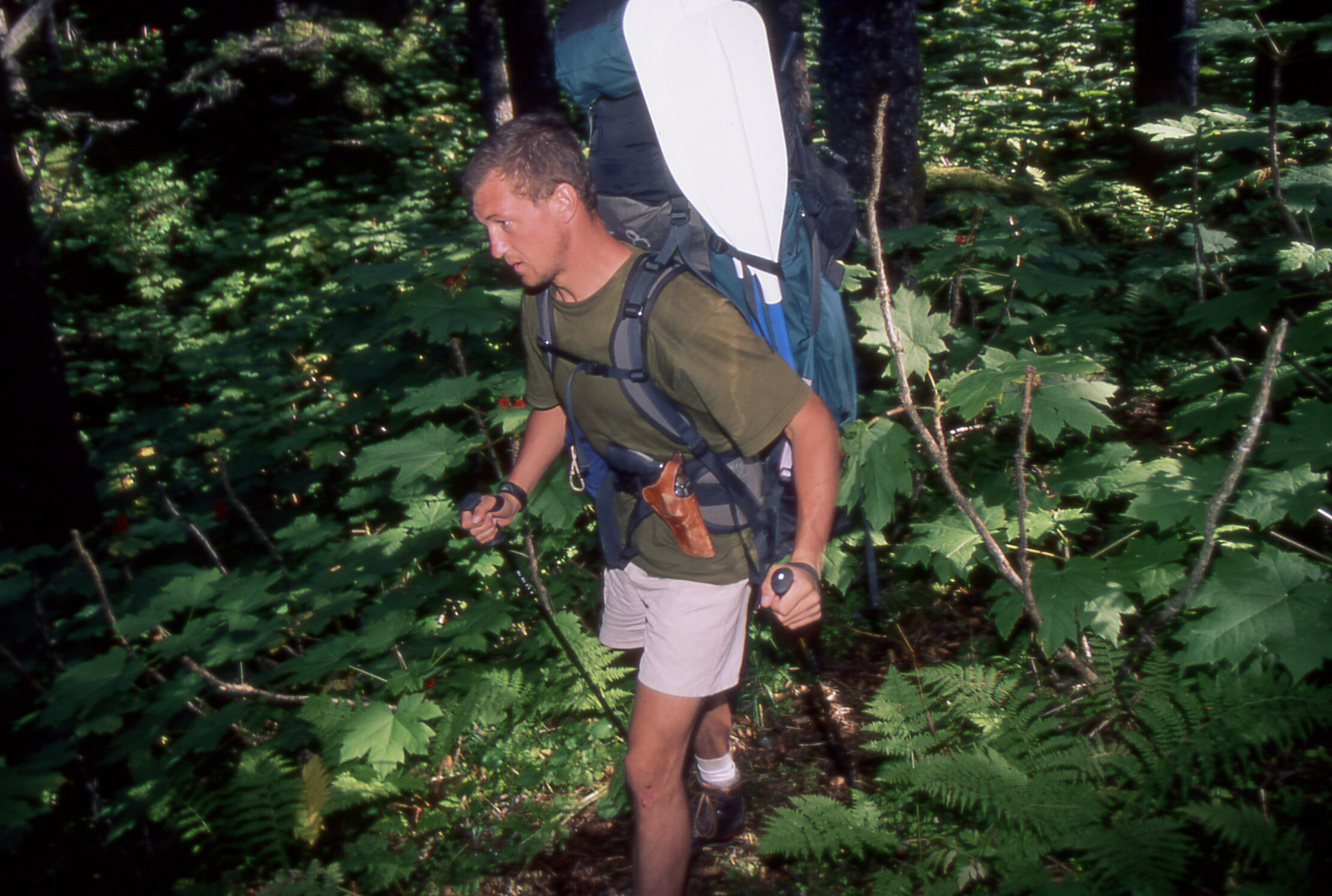
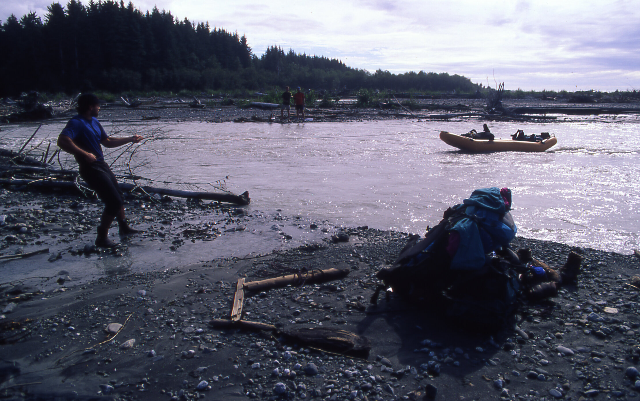
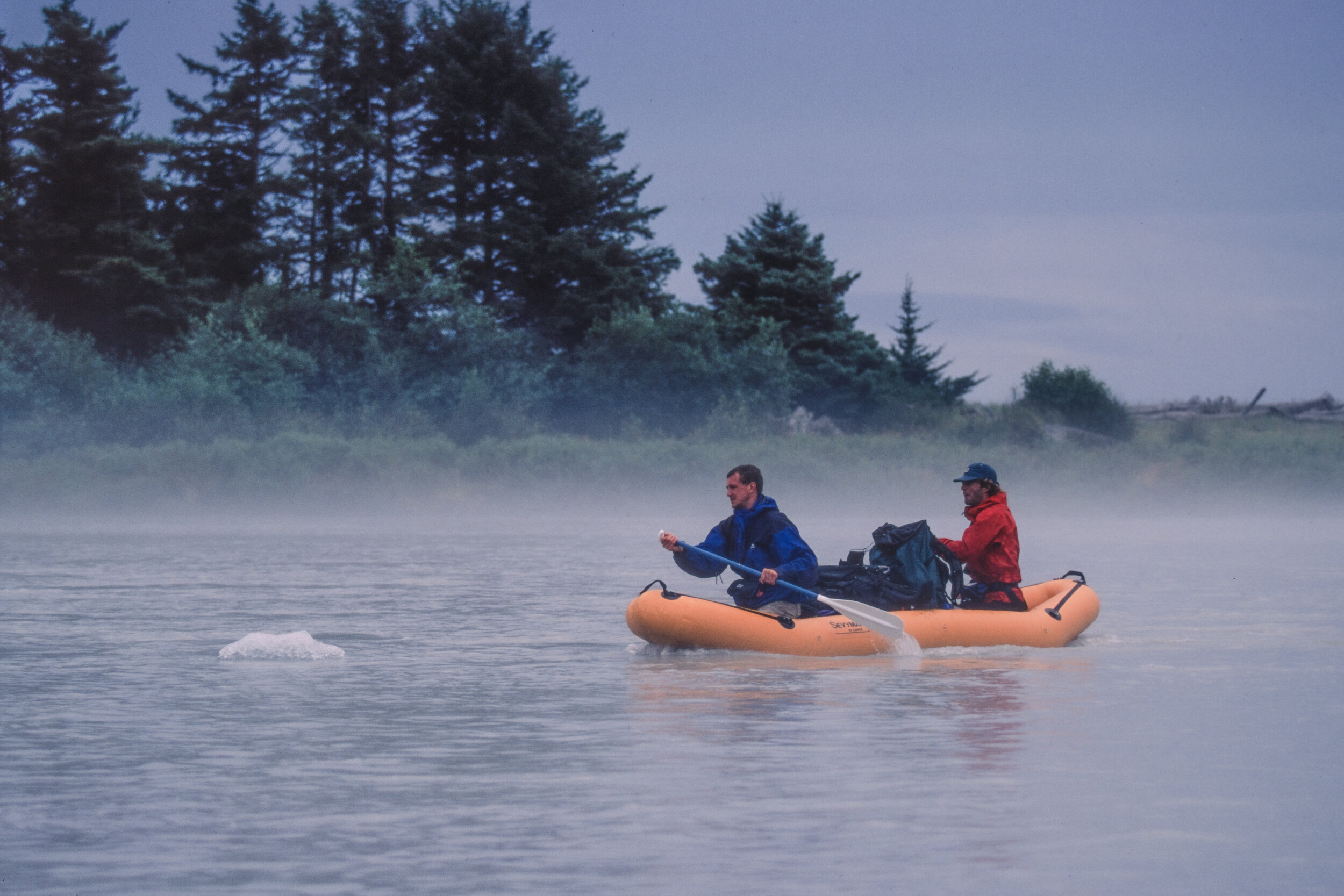
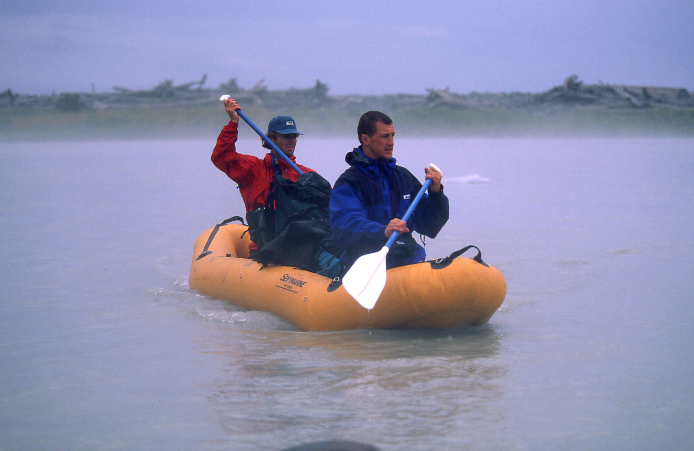
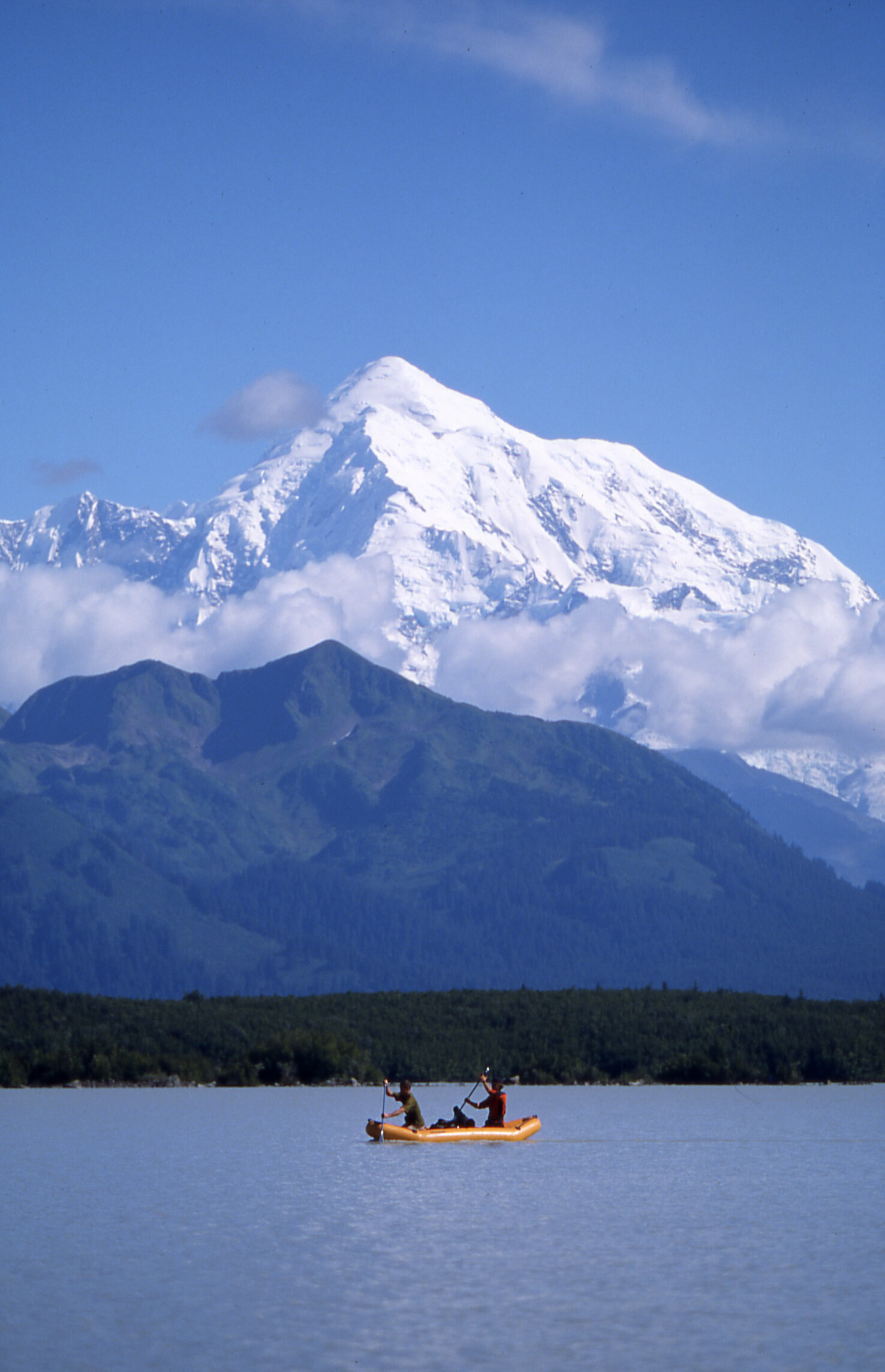
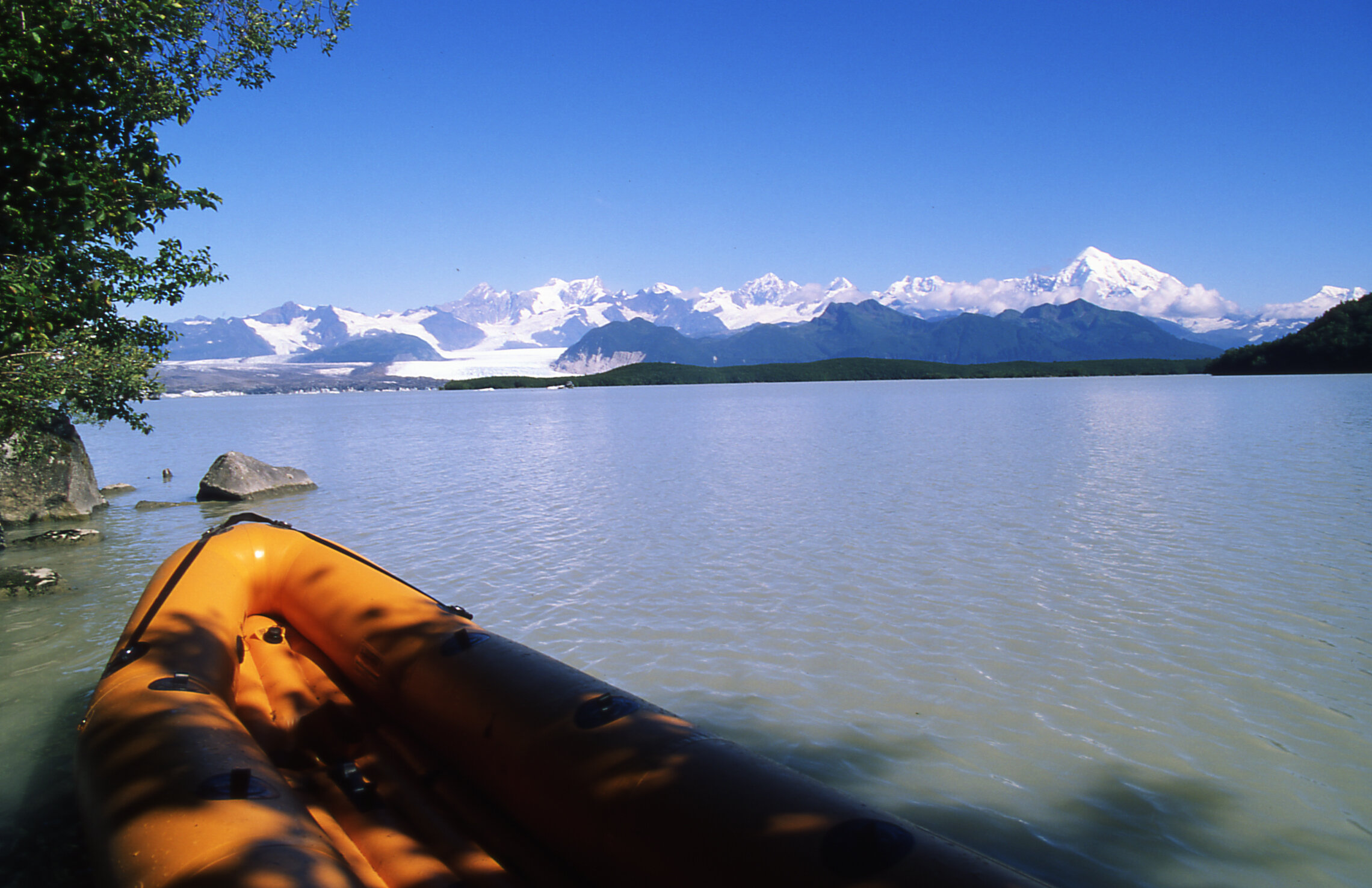
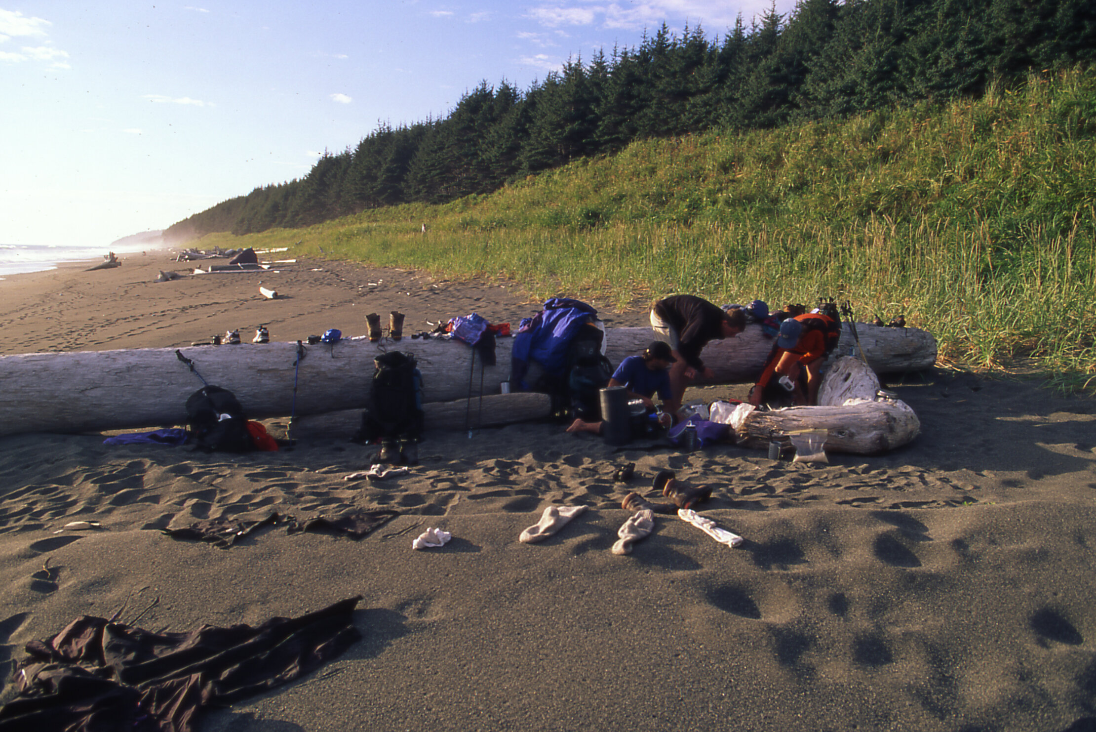
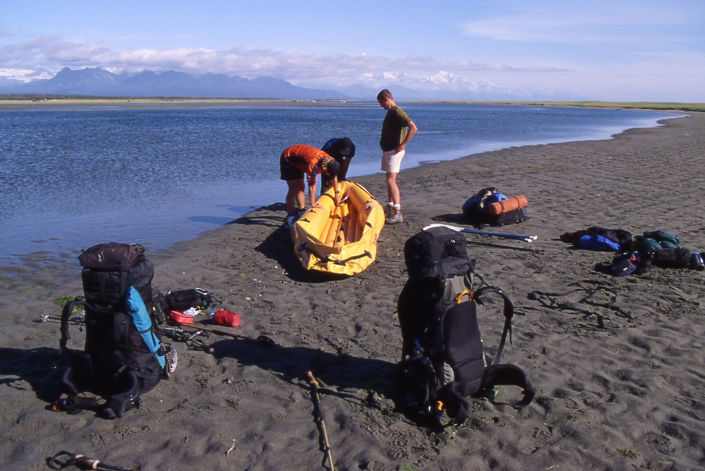
Rupert on the left, is carrying a two man whitewater raft used to cross glacial rivers.
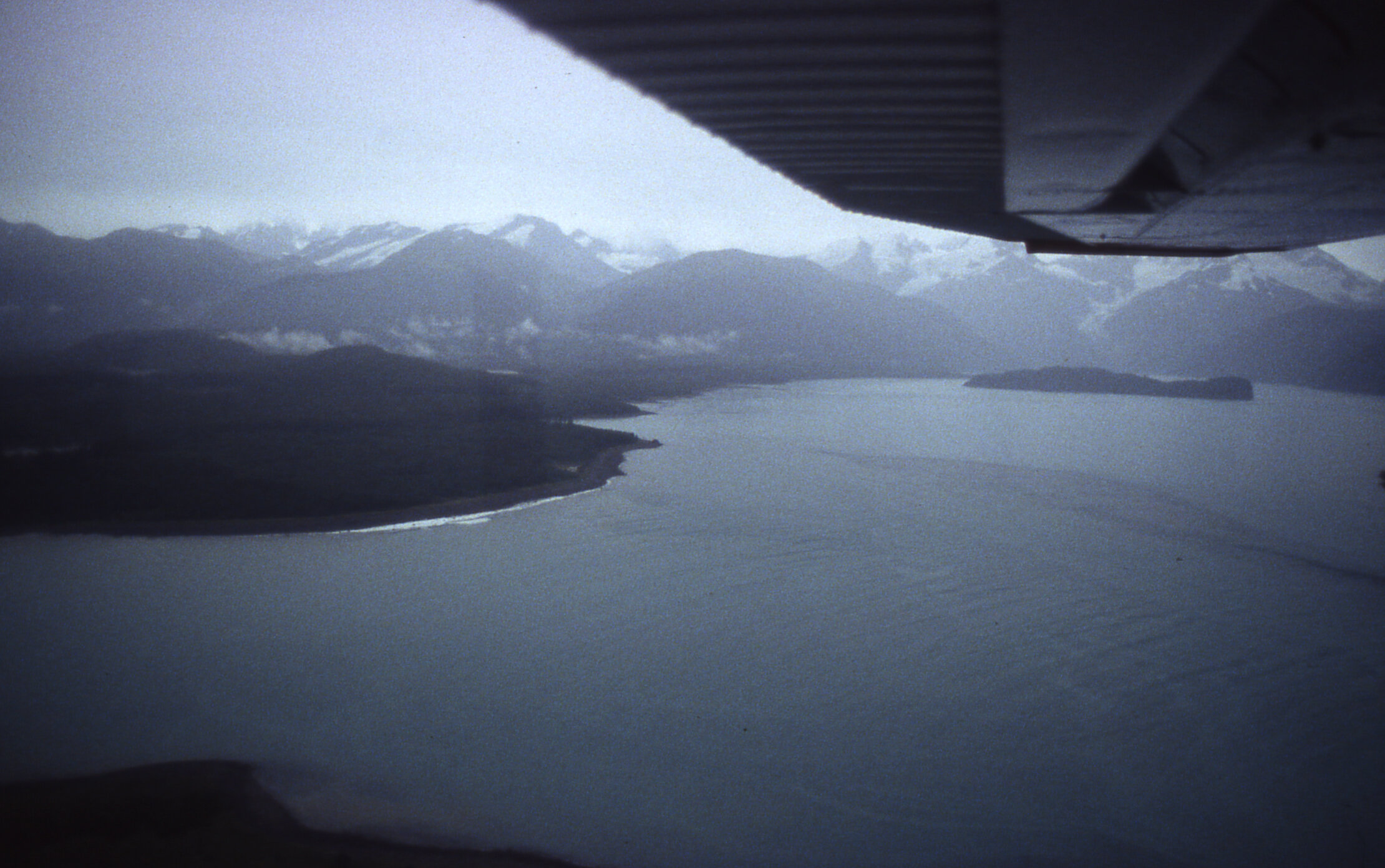
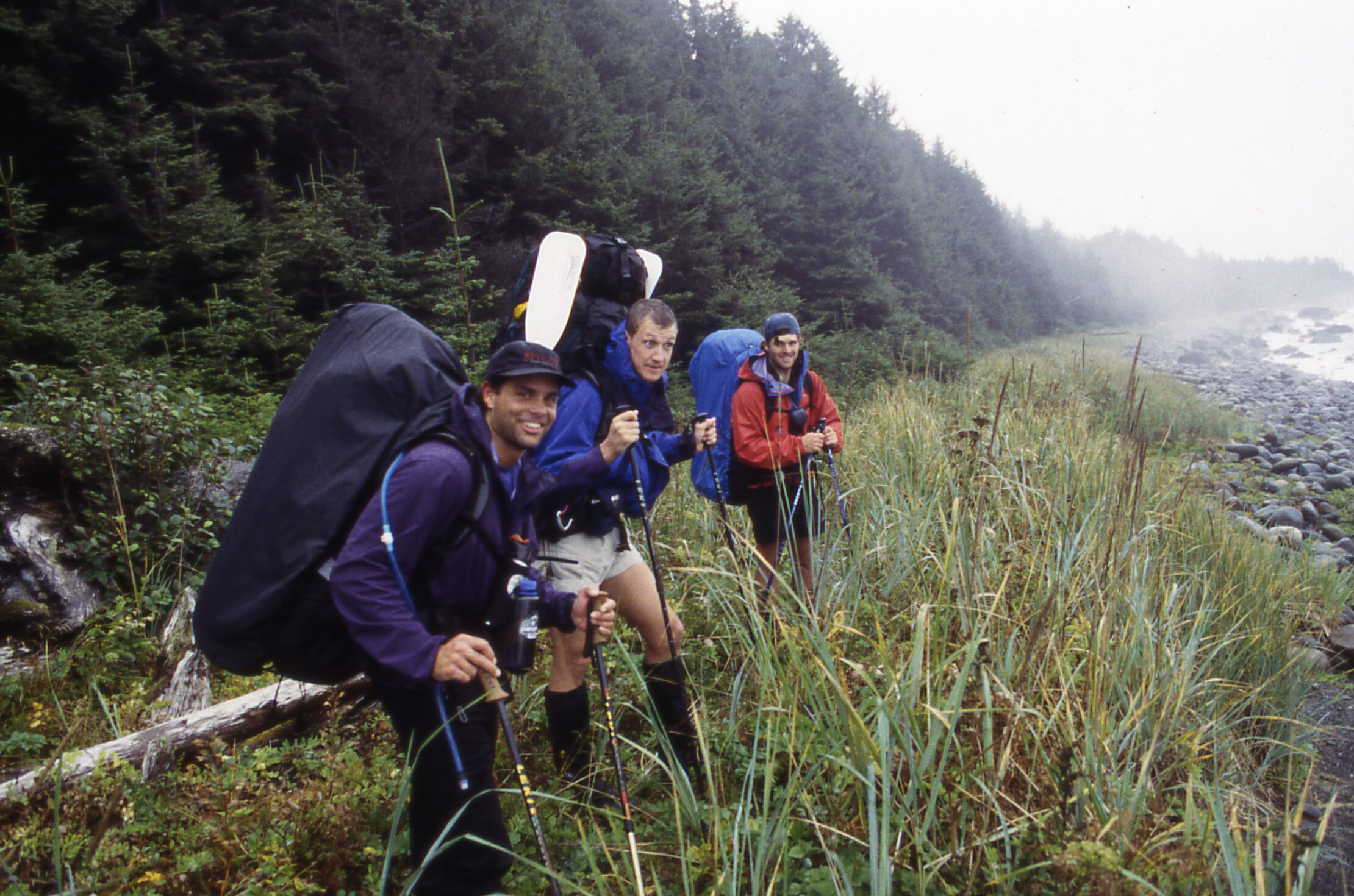
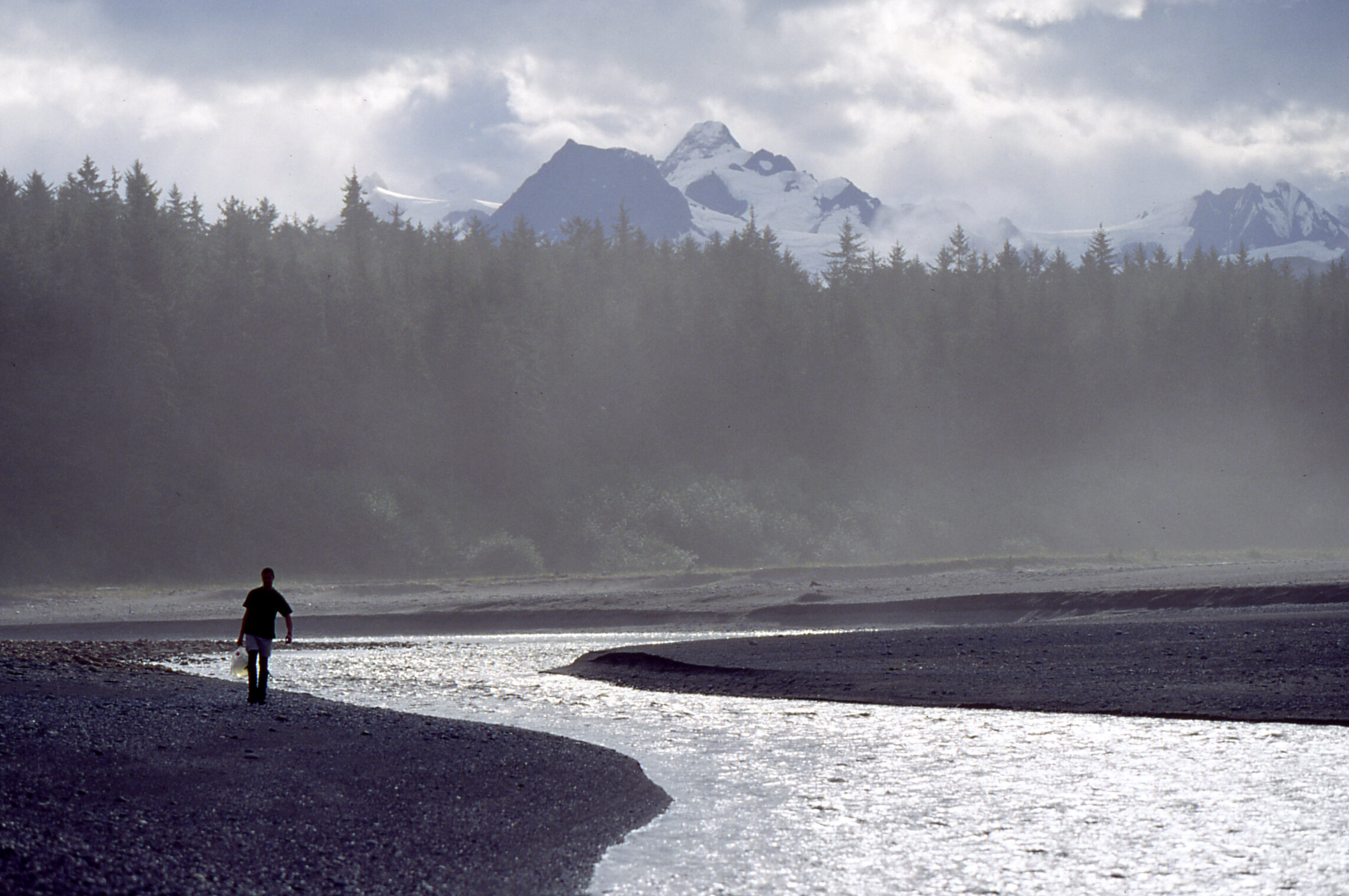
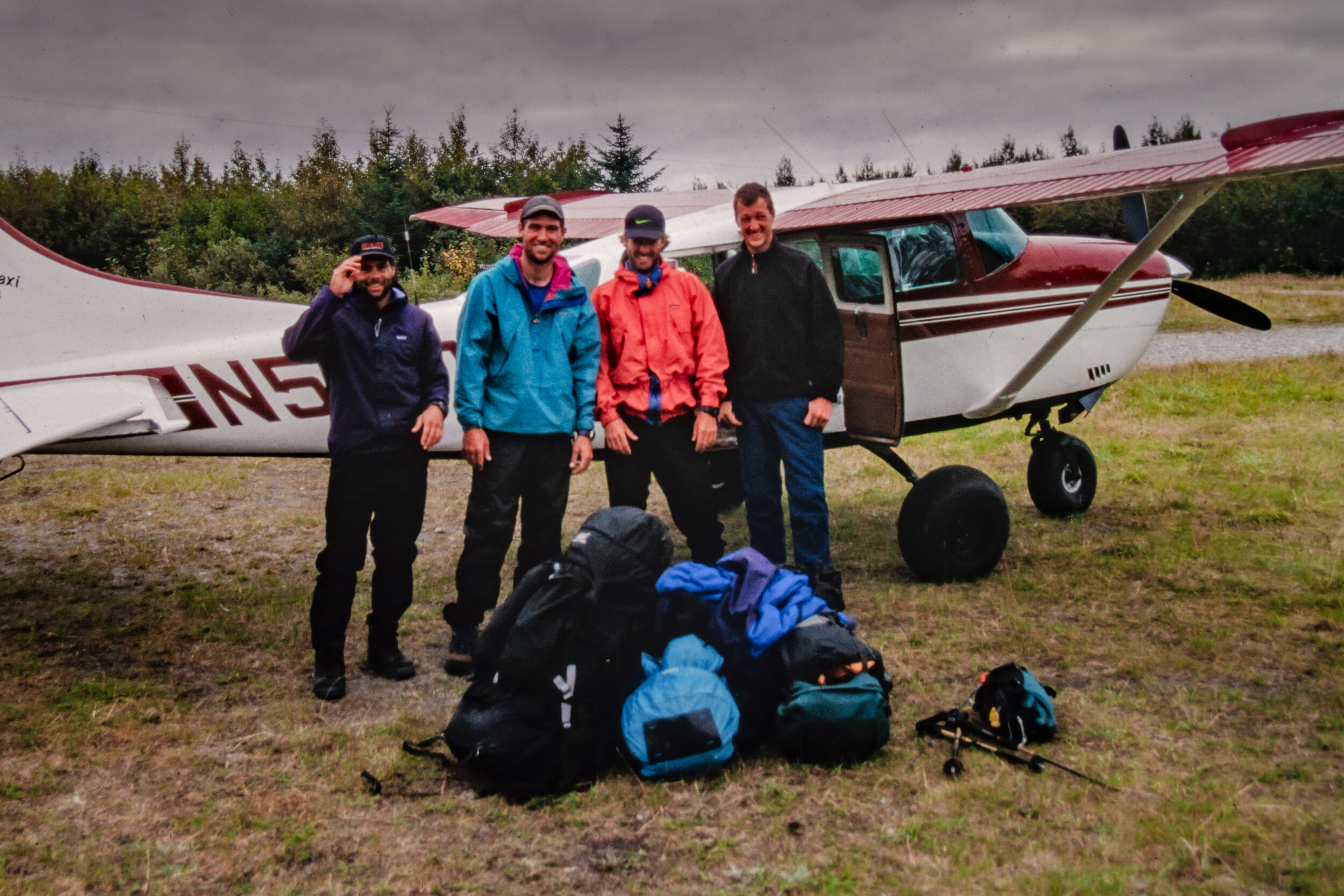
Skirting along the narrow margin of land between massive Mt. Fairweather and the raging Gulf of Alaska. Friends Rupert Burton, Thomas Barnhill, Viju Mathew and I were deposited on a remote beach in Lituya Bay via a pair of beach landing bush planes. As they flew off, we looked at each other and started the long adventure back to a remote Alaskan airstrip where we had planned to get our flight back to civilization. We were an odd collection of adventure buddies. Rupert I met on the Taklamakan Desert Crossing Expedition and is a security specialist that has held some of the most intense jobs the world over (like diffusing landmines in Angola and working security for De Beers gemologists visiting diamond mines in remote Africa). Tom and Viju and I met years back working at Patagonia. Both of them are accomplished writers and have traveled the world seeking new experiences. Tom as a copywriter for Nike, traveled with Lance Armstrong during his Tour-de-France days and Viju is the exotic automobile editor for The Robb Report and flies off to the Pyrenees or the Alps to test drive McLarens, Lamborghinis, and Bugattis.
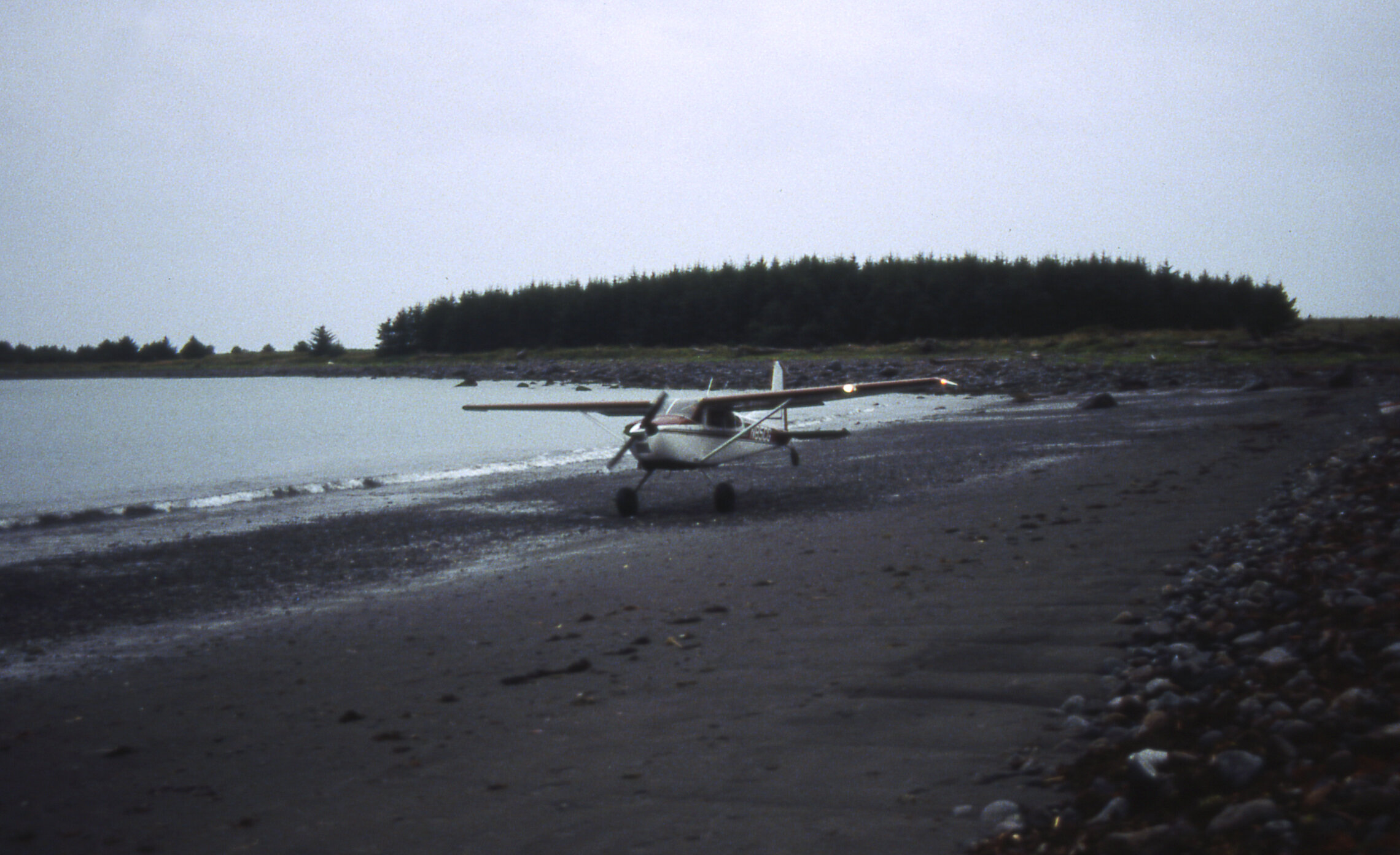
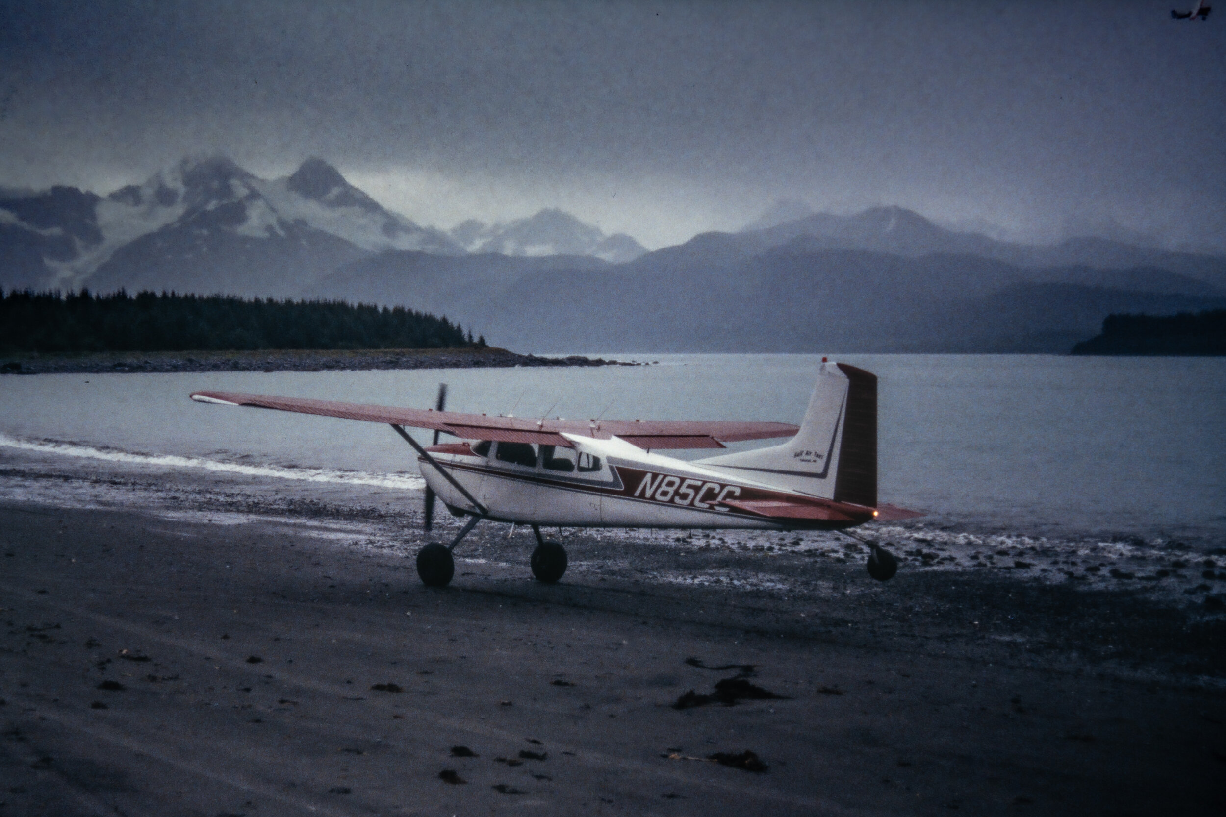
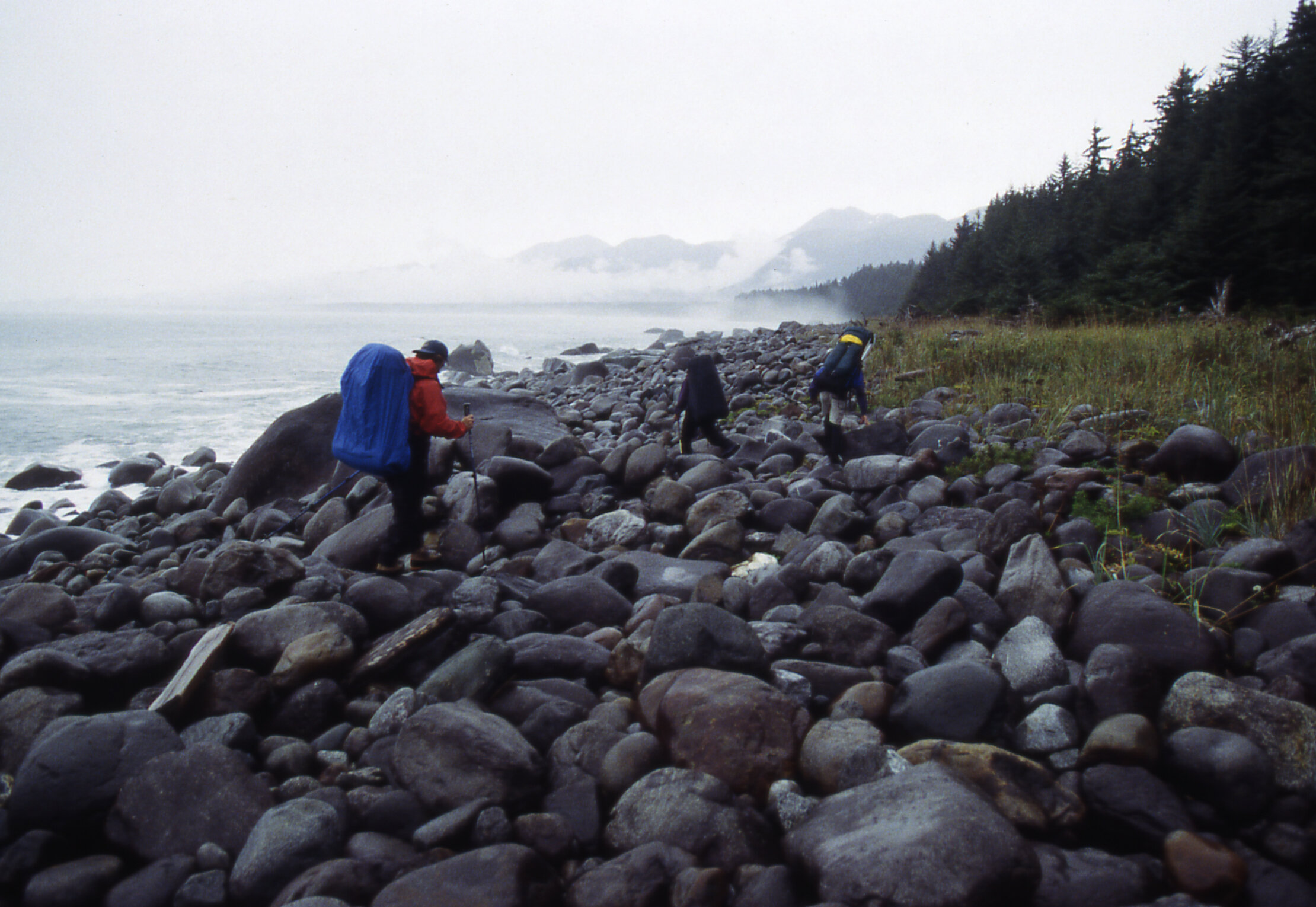
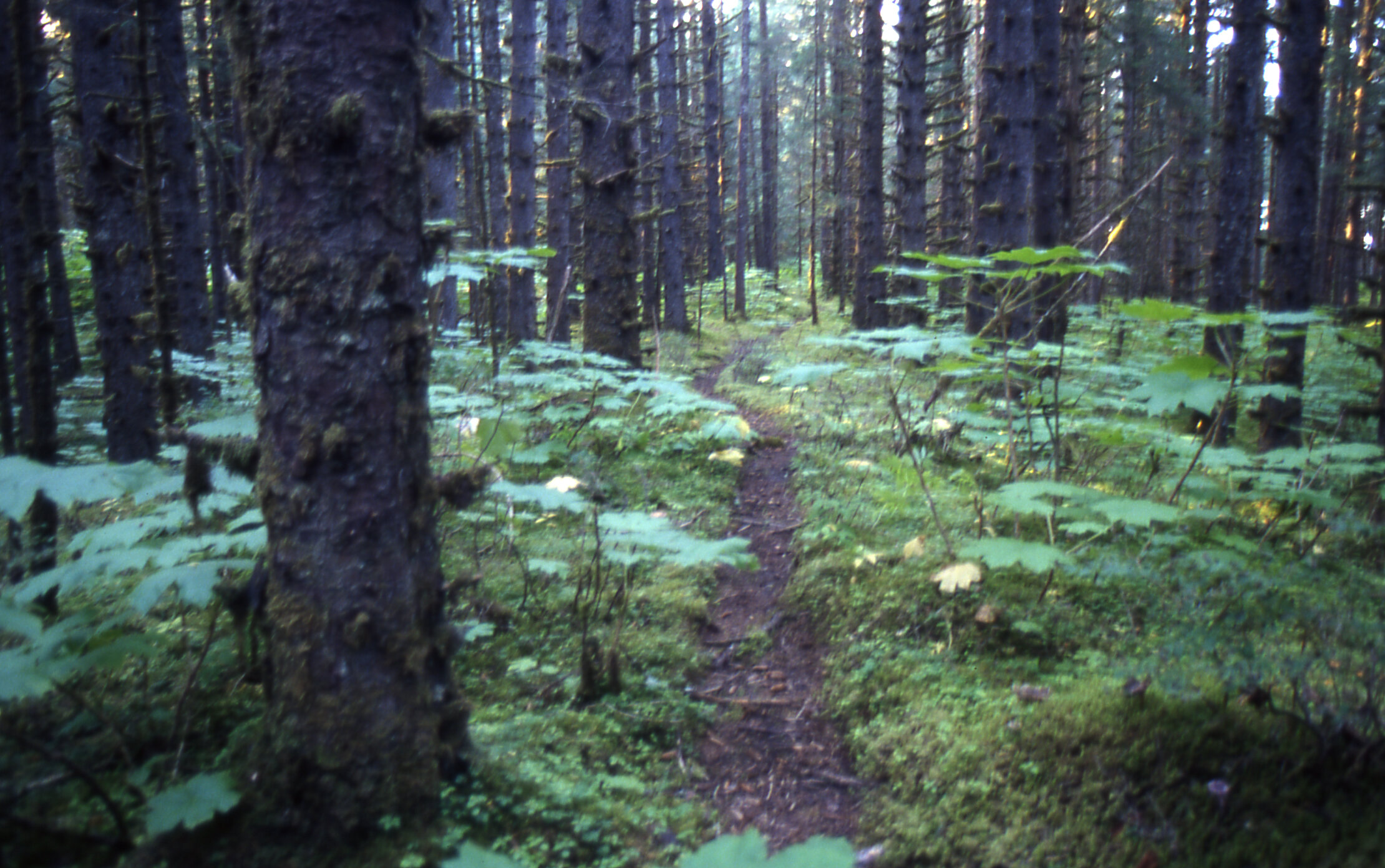
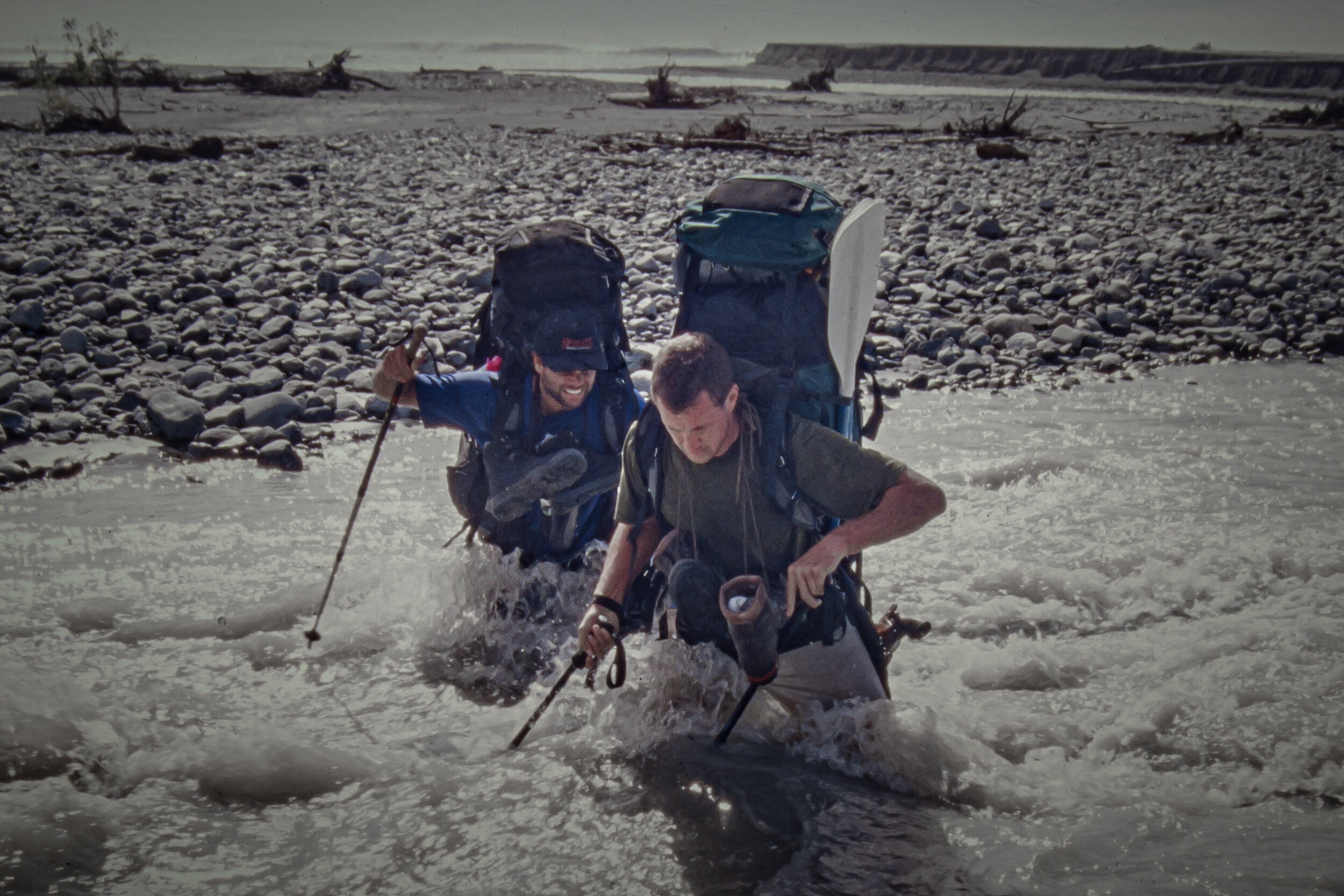
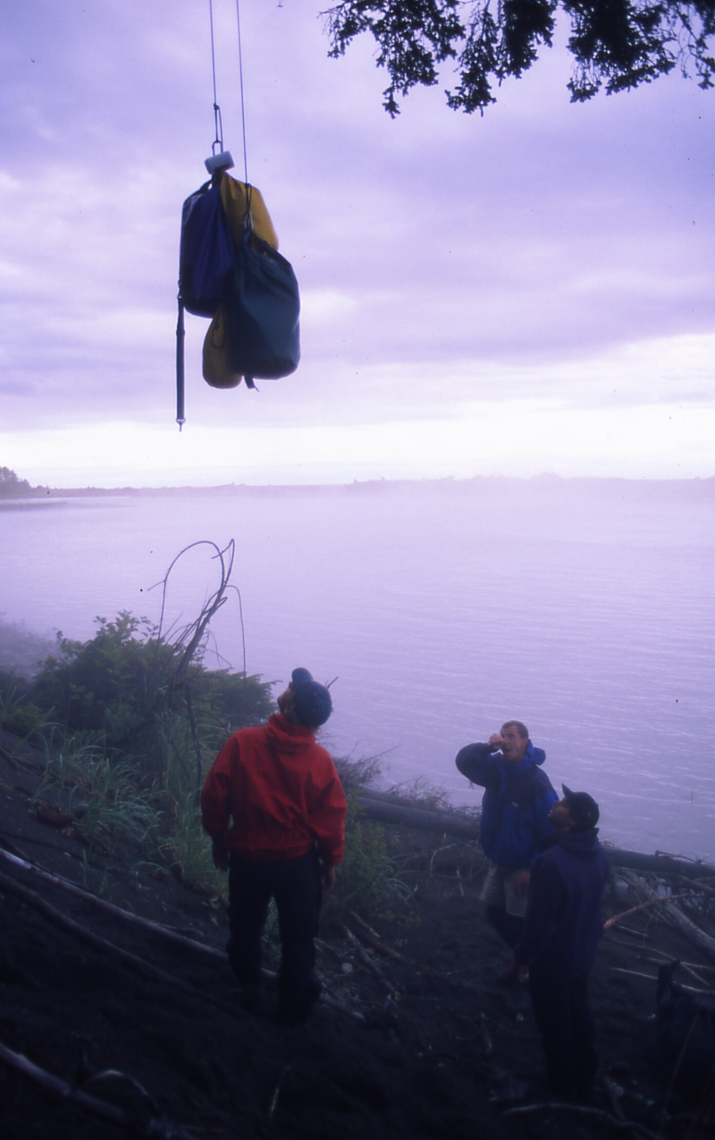
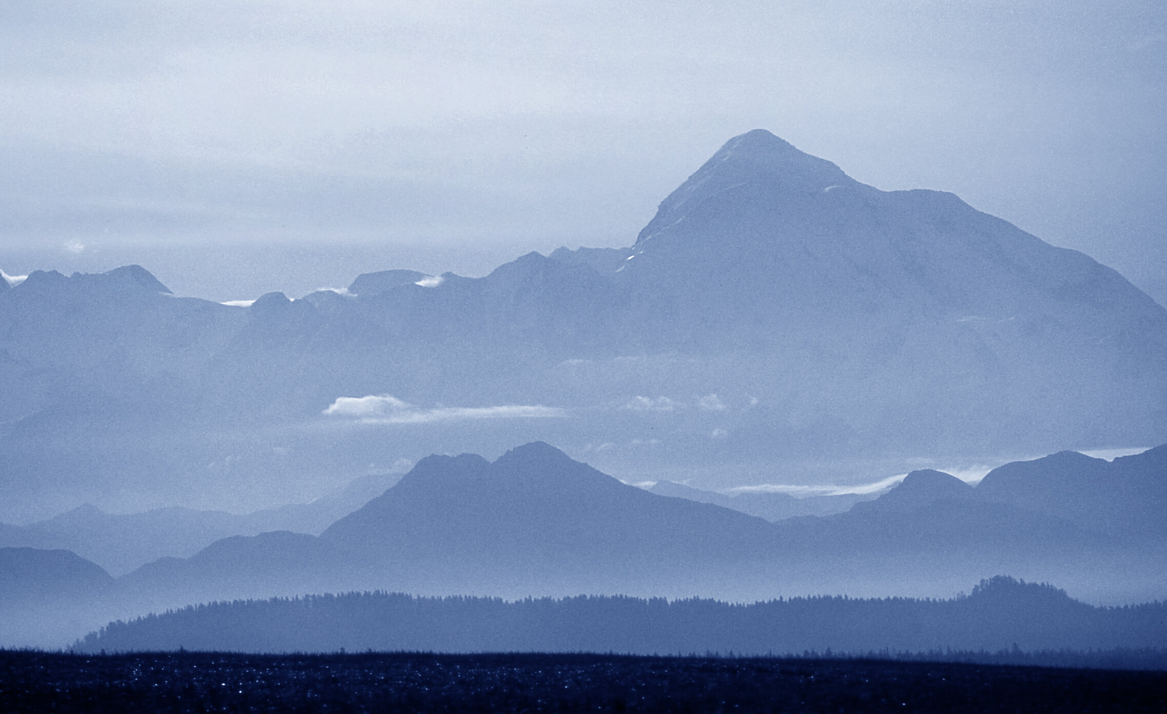
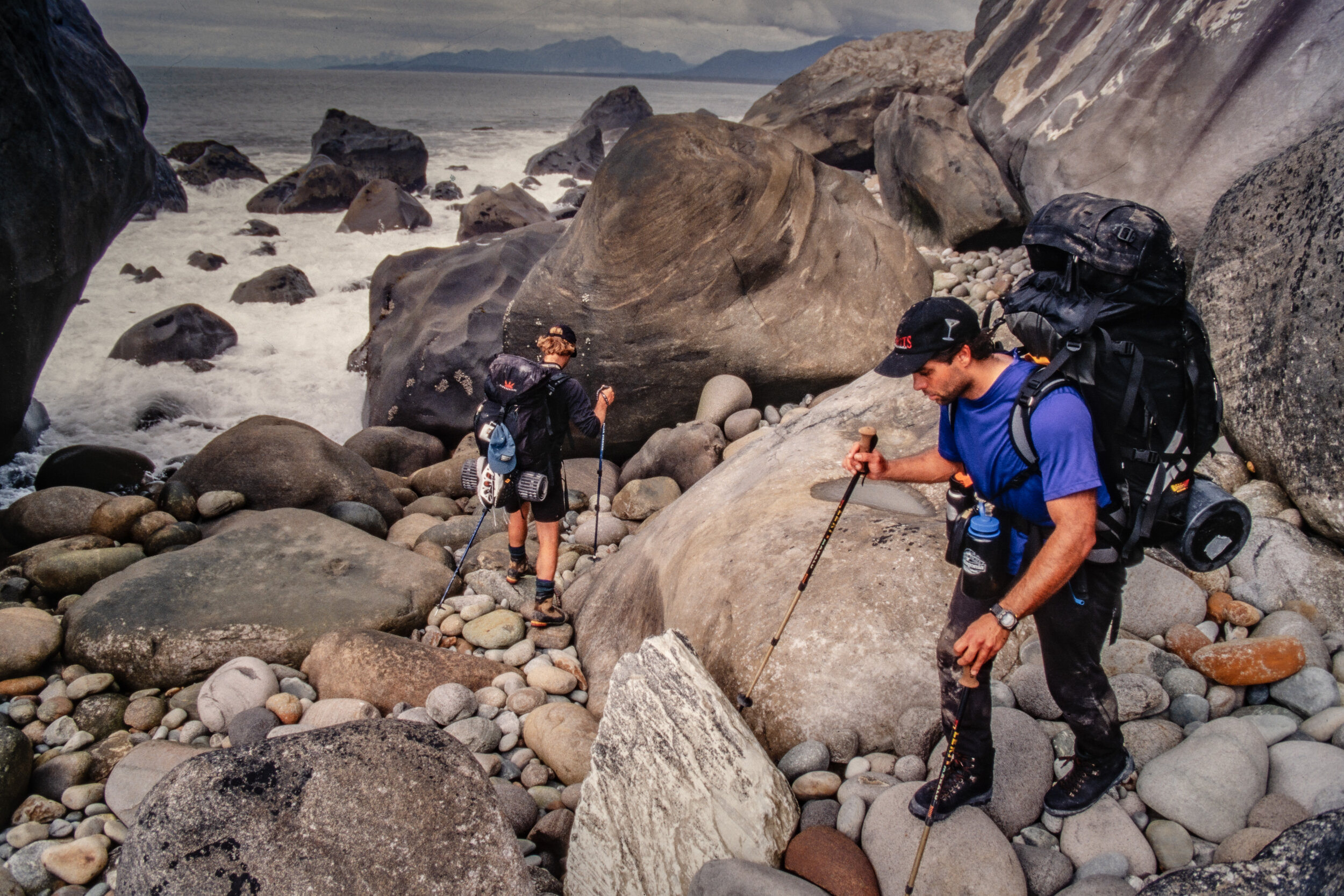
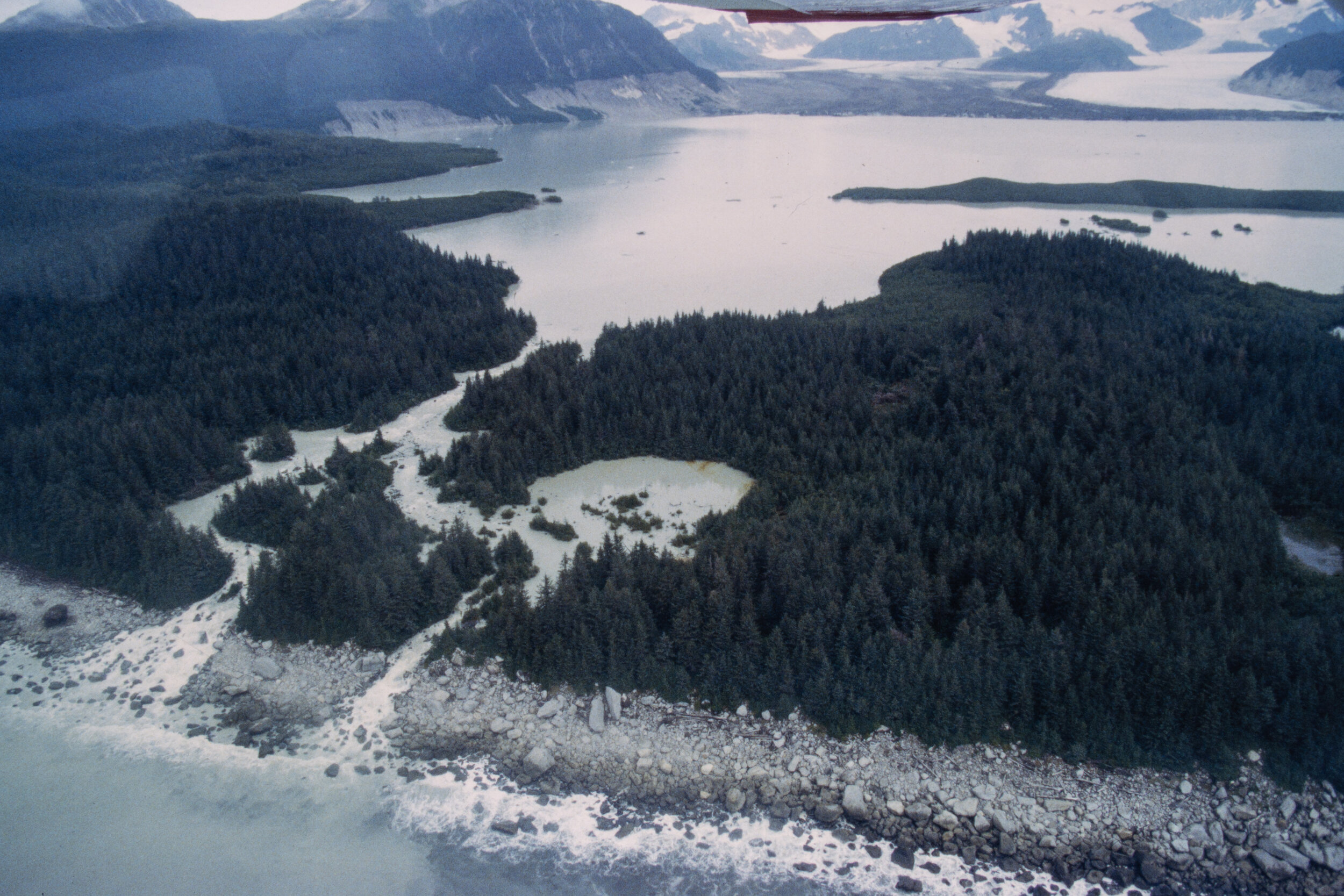
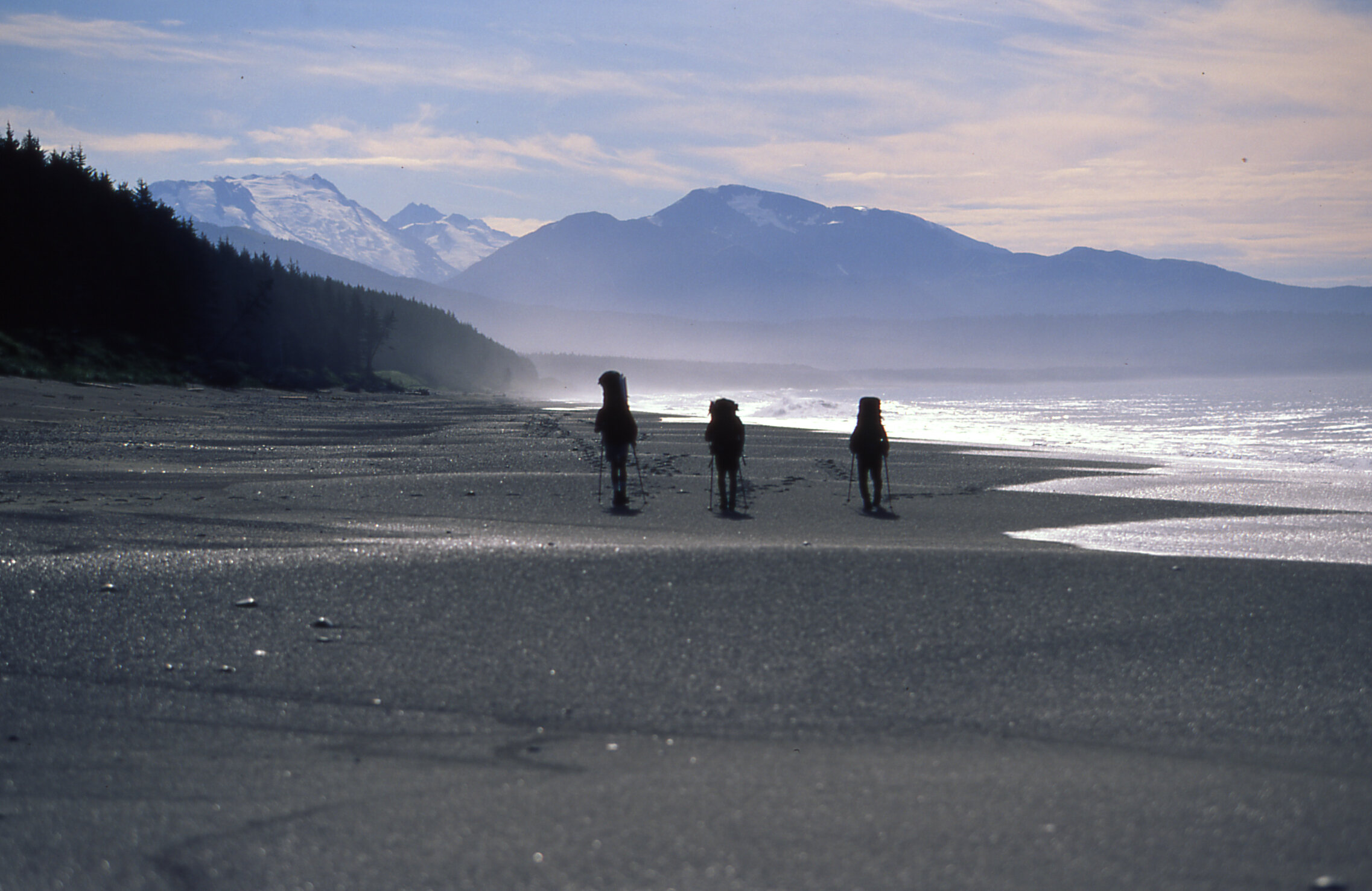
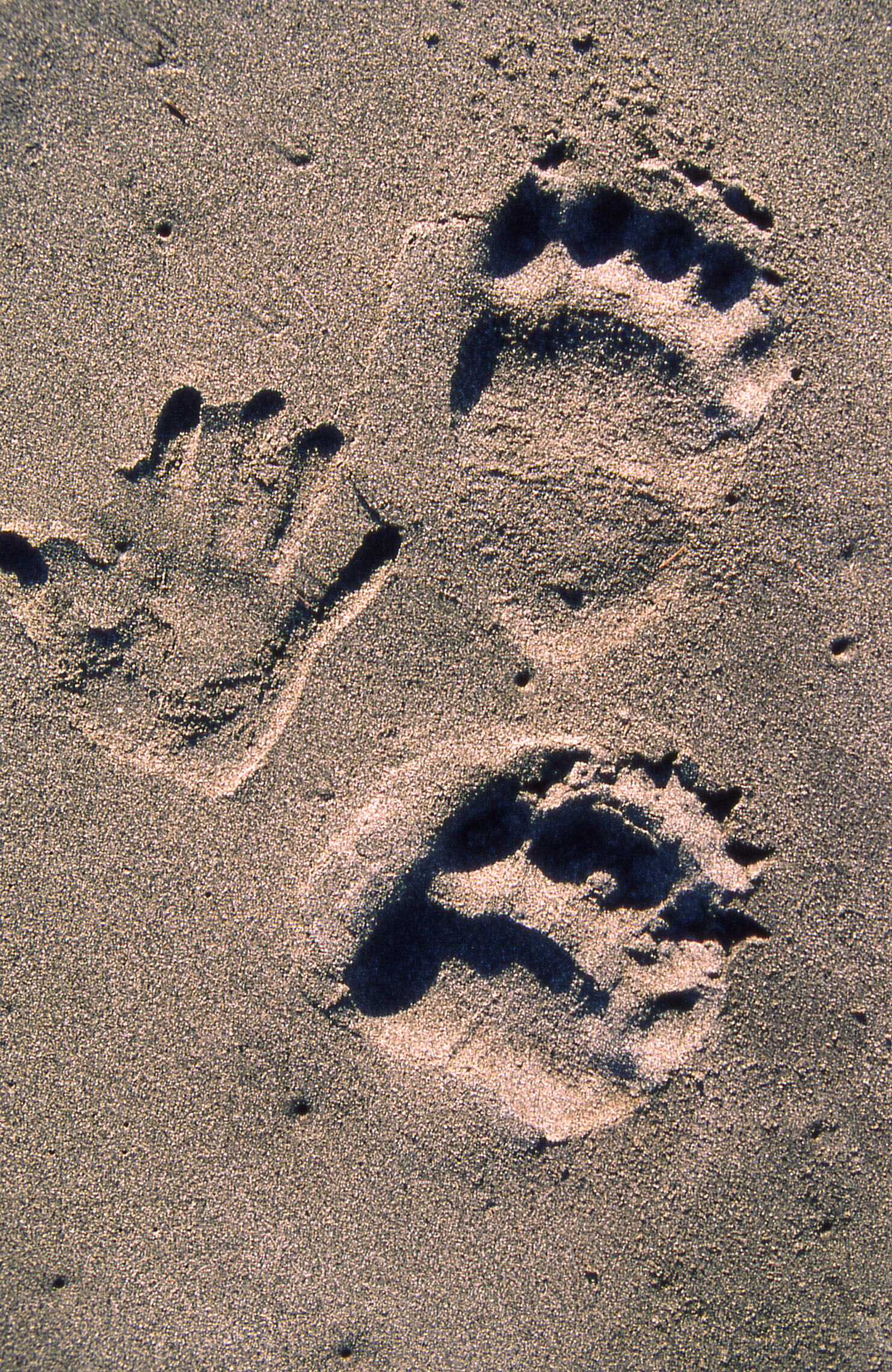
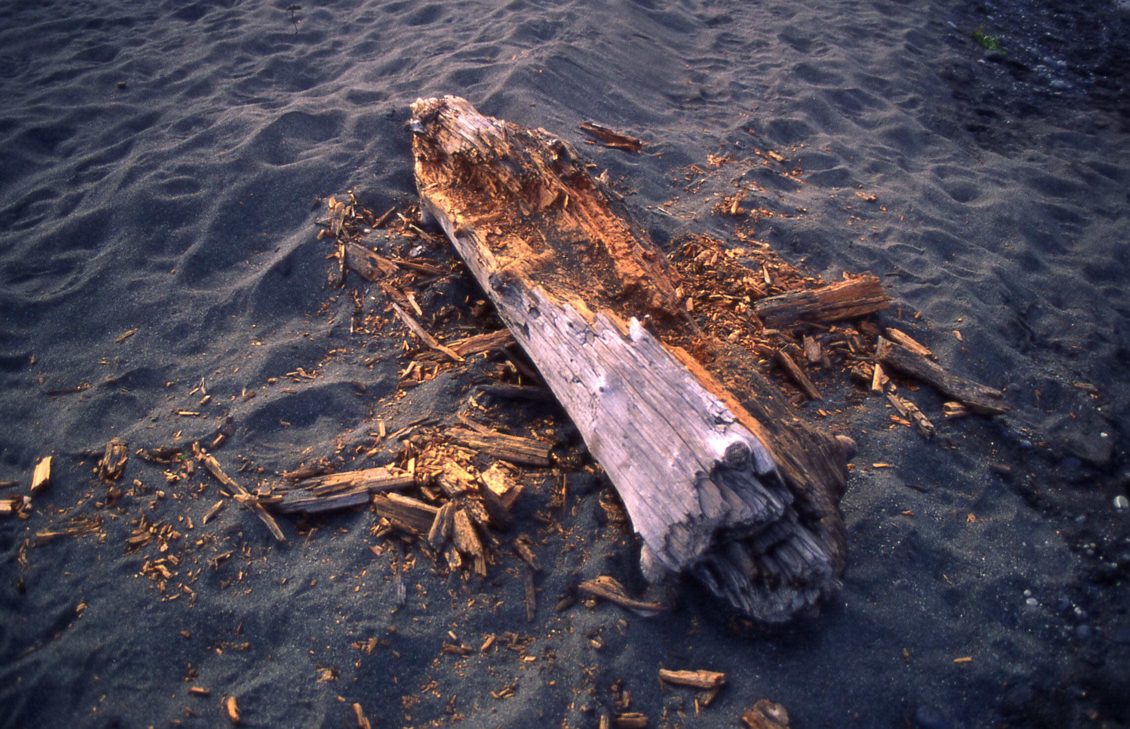
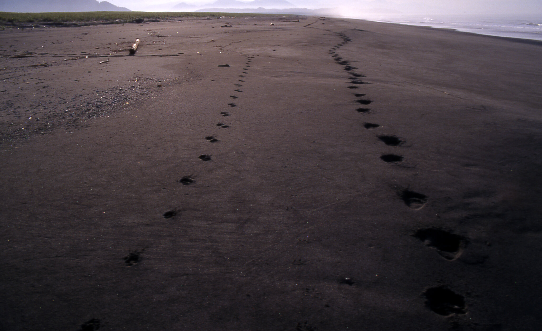
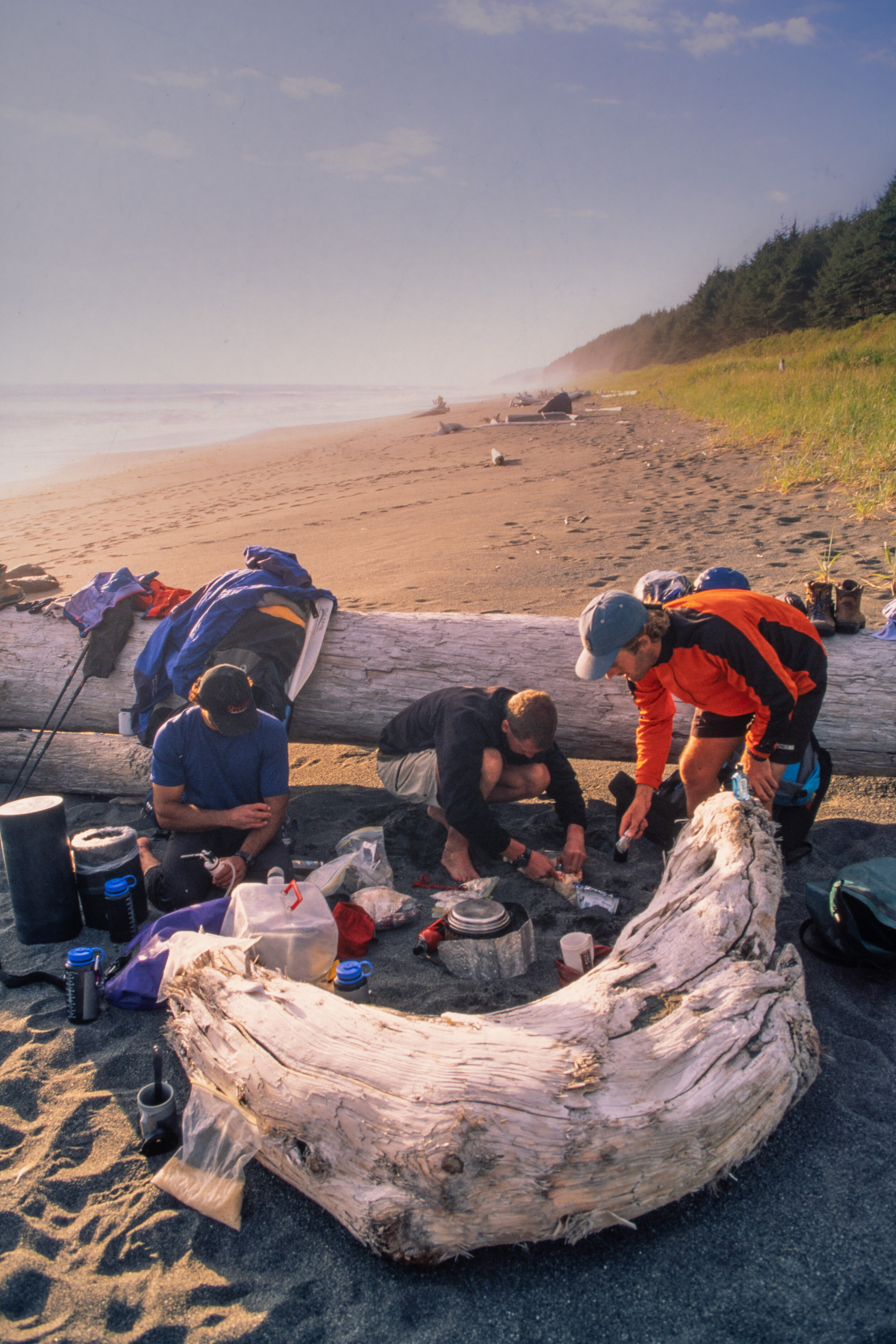
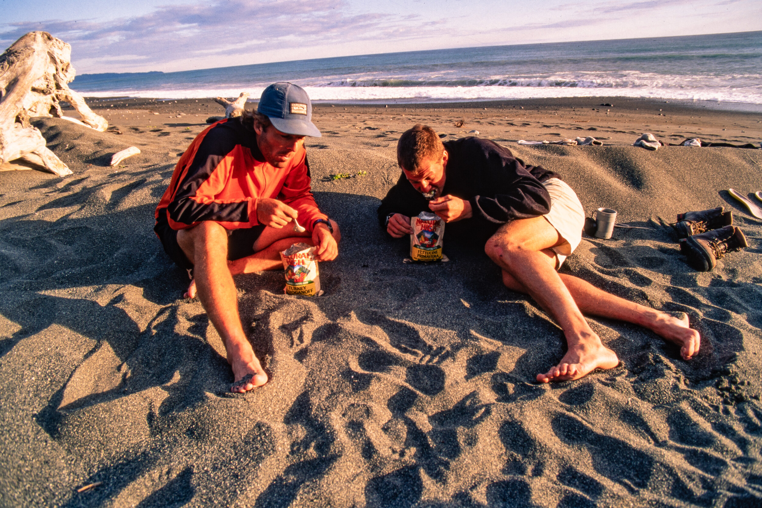
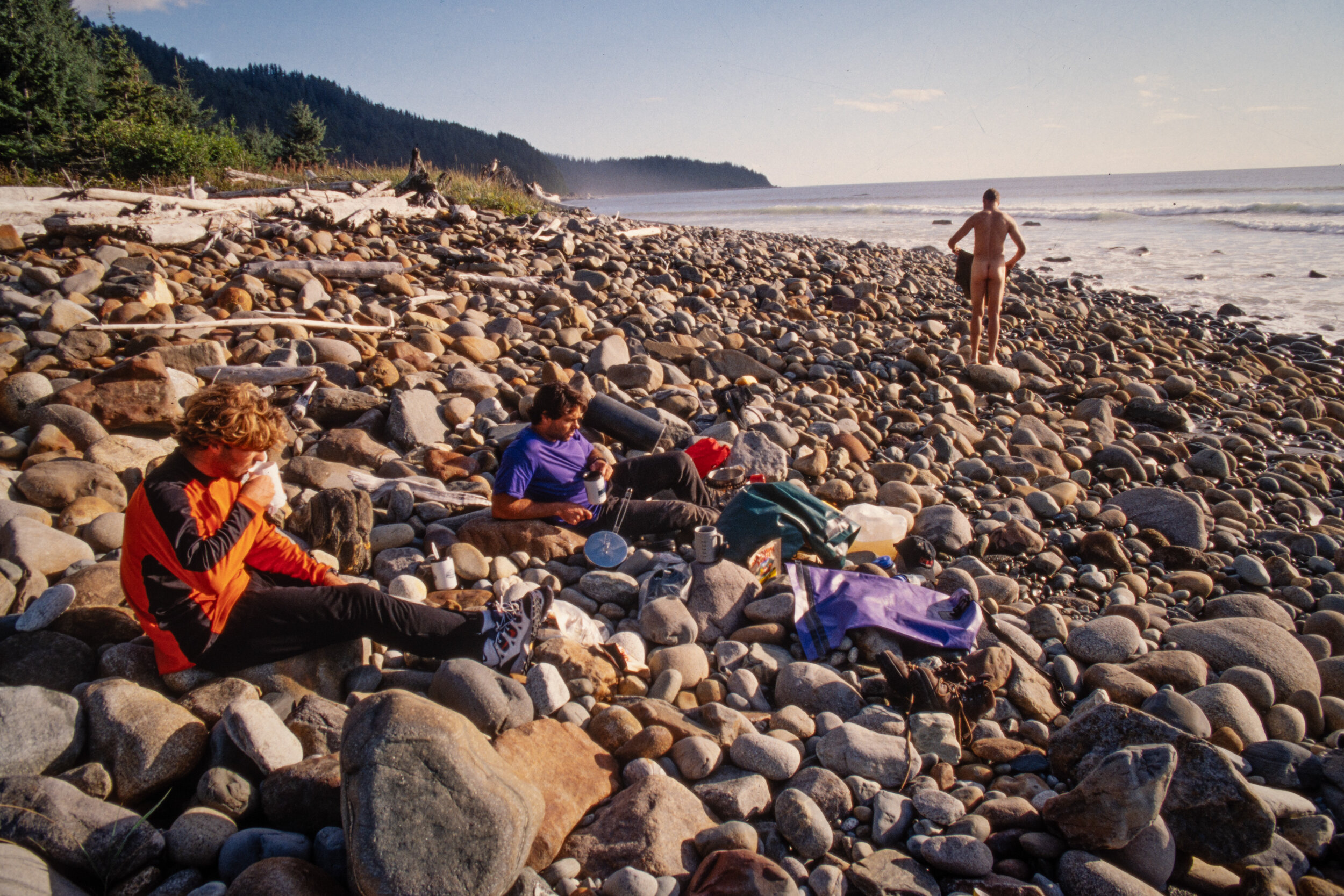
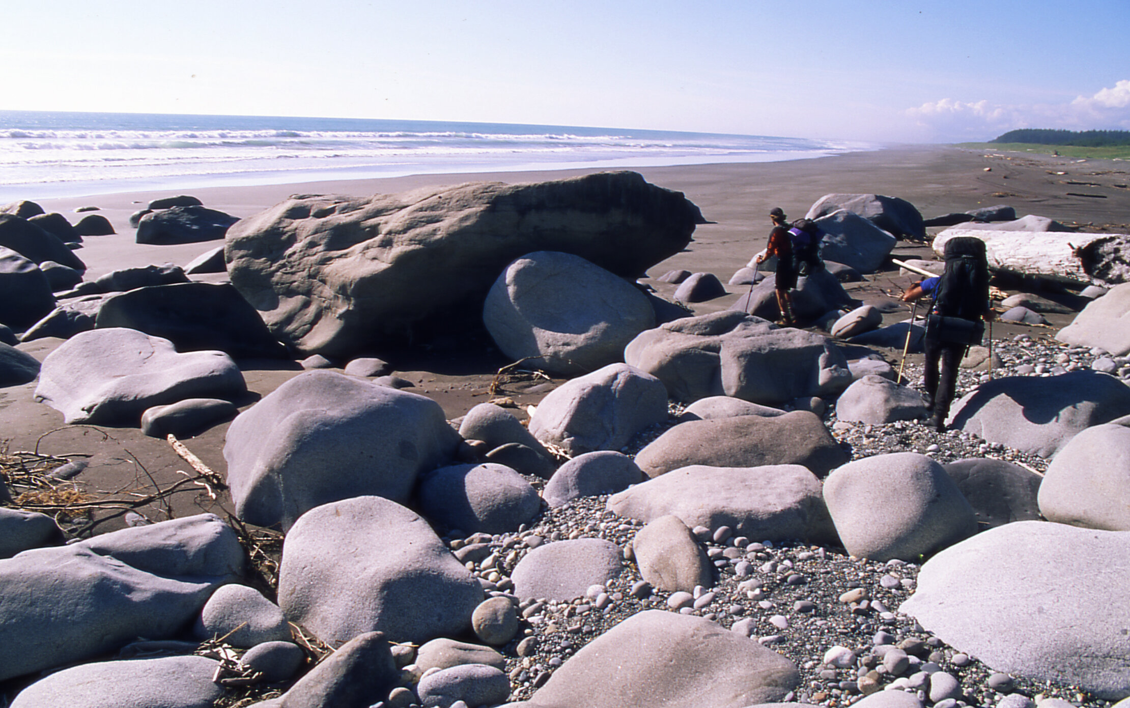
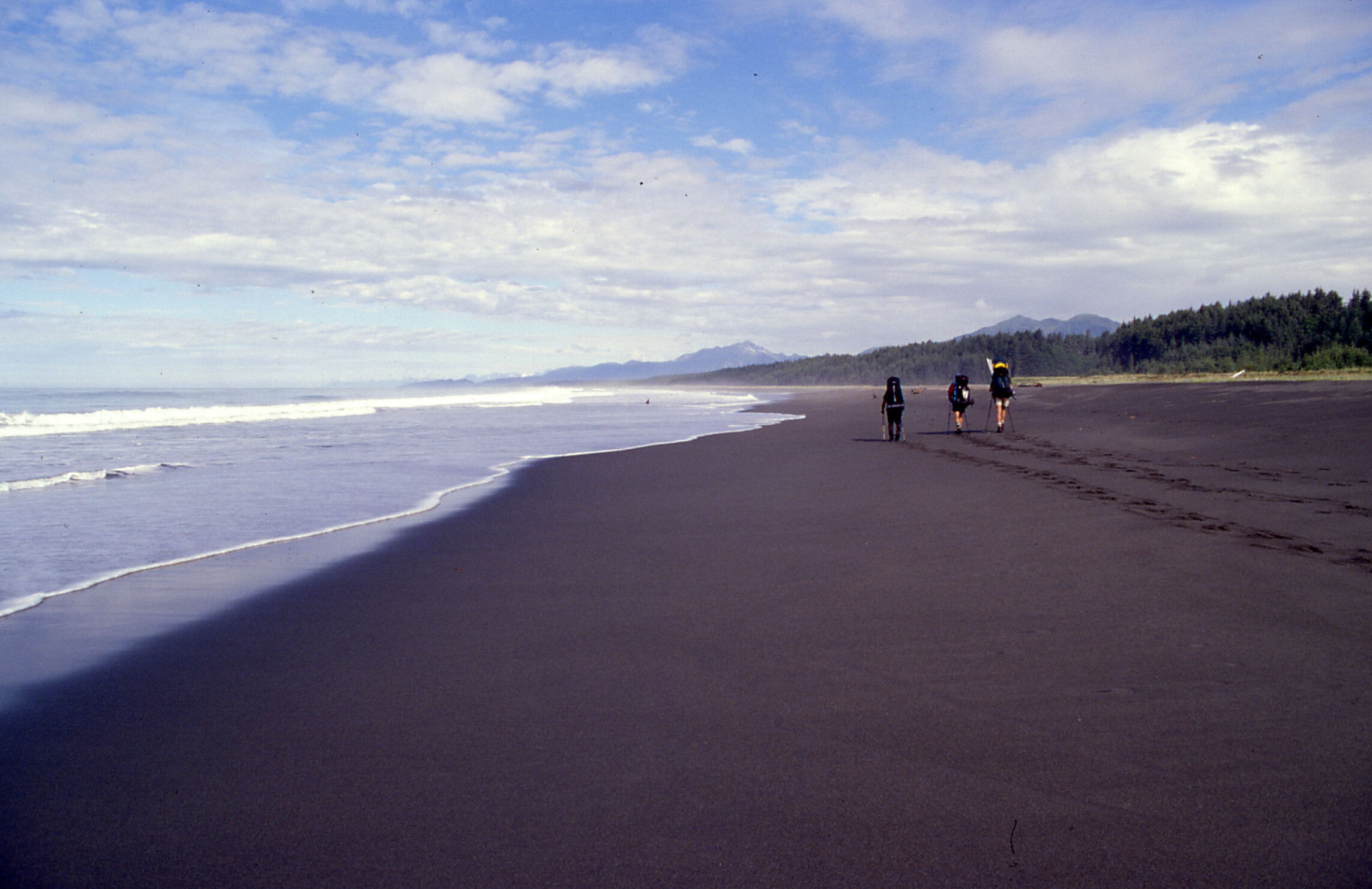
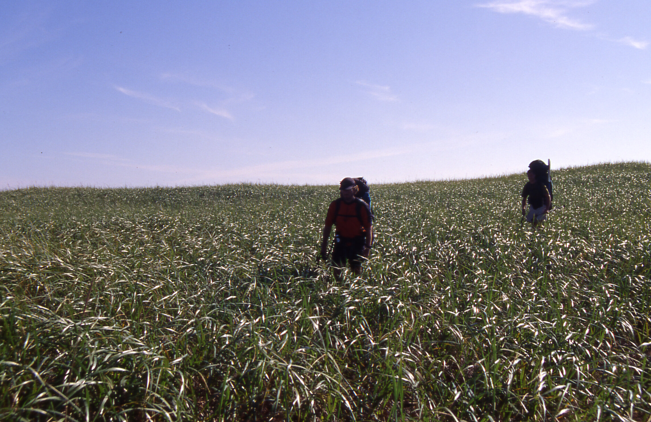
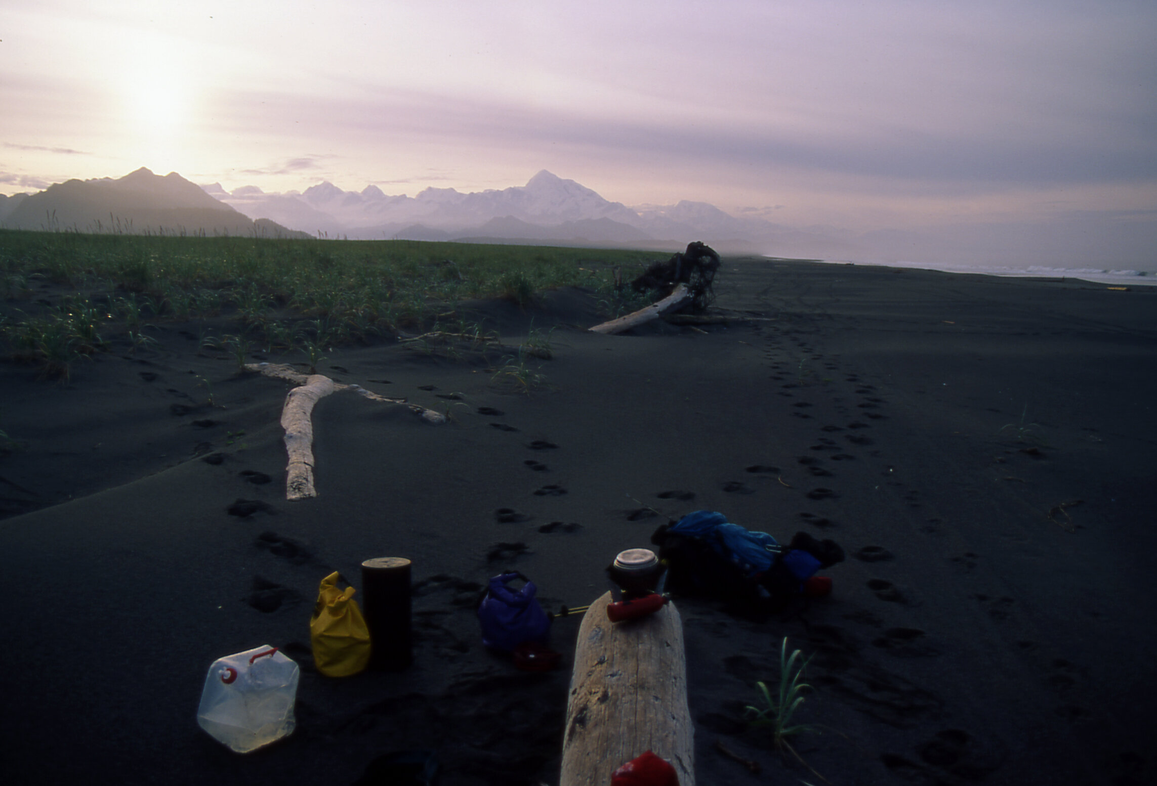
I had read an obscure account of this remote traverse along the outside coast of Glacier Bay. For those of you familiar with the Lost Coast Trail in Northern California, think of this trip as that but with a few exceptions. First, as mentioned, access is via a bush plane into very remote wilderness. Second, according to the National Park service at the time, this trip is attempted once every 3-5 years. Third, instead of fording creeks draining the coast range you need to paddle across glacier melt lakes and rivers that frequently have icebergs drifting down them. Fourth, there is no trail to follow other than the occasional trail worn into the rainforest by the local Grizzly bears. And last, this strip of land is incredibly thin, sandwiched between the 15,000 foot Fairweather Mountains and the raging Gulf of Alaska and is home to massive coastal Grizzly bears that roam the beach for food. Our bush pilots were able to set us down on the shores of Lituya Bay, the site of the world’s highest ever recorded tsunami at 1720 feet, at low tide. Within 5 minutes of landing, the four of us were left standing on the beach, in the rain, with only our backpacks. As this was August of 1997, we had no satellite phone or Garmin emergency beacon, we were on our own and needed to hike 60 miles North to a remote dirt airstrip to meet with our pilots. I’ll share the rest of our story in the captions below the following photographs.